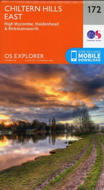
Ordnance Survey OS Map of Chiltern Hills East: Explorer 172 - Weatherproof
Ordnance SurveyRatings: 4.5/5 (6)
GBP 12.99 There are 2 offers for this product.
The OS Explorer map of Chiltern Hills East, including High Wycombe, Maidenhead, and Rickmansworth is a must-have when visiting the Chiltern hills, or 'The Chilterns' as they are referred to locally.Given the title of AONB in 1965, the Chiltern Hills are a quintessential piece of British countryside. So much to see and do crammed into one map, some notable highlights include: High Wycombe, Maidenhead, Rickmansworth, Gerrards Cross, Northwood, Slough, Uxbridge, Hillingdon, Amersham, Chorleywood, Ruislip and Marlow, the Eastern Chiltern Hills, and the Thames Path.Our Explorer maps are perfect for day-tripping, extensive hikes, and cycling. They come in both standard and Weatherproof Active — so you'll never get caught out in a storm. Standard Publication Date: 02/06/2025 Weatherproof Publication Date: 09/06/2025 Why OS? Trusted for 235+ Years Britain's most trusted mapping, helping millions of outdoor enthusiasts explore and navigate with confidence for over 235 years. Accurate Mapping Detailed, up to date mapping to help you navigate confidently and stay safe. Made by Ordnance Survey Buy direct from Britain's official mapping authority. Explore with Confidence Plan routes and discover new places using mapping data maintained by our team of expert surveyors and cartographers and recommended by Mountain Rescue.
Compare offers
-
Cotswoldoutdoor In StockGBP 12.99
-
Ordnance Survey In StockGBP 12.99